The route was chosen for two reasons: speed and traffic. The Great Circle route cuts down travel time, and shipping lanes were established to keep big liners from bumping into each other.
The Titanic wasn’t trying to break any speed records; she was just following the common path. Think of it as the highway of the Atlantic in 1912.
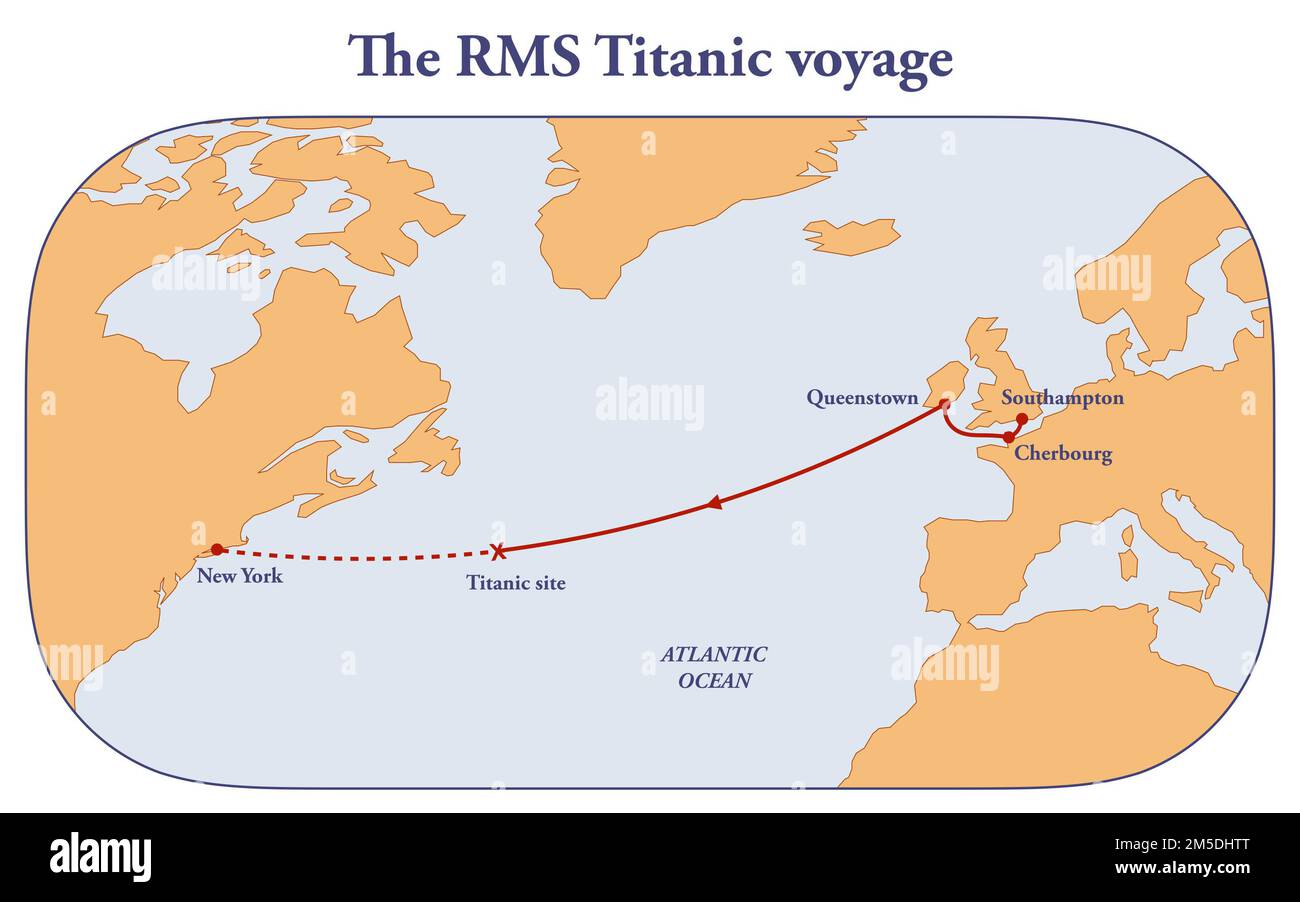 Titanic Route Map 1912
But here’s the kicker: that highway went right through the iceberg alley. In April, icebergs drift south from Greenland, and the Titanic’s path literally crossed their path. It was like driving through a car wash—except the car wash was made of frozen death.
The Ice Warnings: A Comedy of Errors
Now, the ship received multiple wireless messages about ice ahead. “Hey Titanic, there’s a big frozen chunk here. Watch out.” They even got a warning from another ship, the Mesaba, that described a massive ice field dead ahead.
But Captain Smith—rest his soul—didn’t slow down. The ship was going at nearly 22 knots (about 25 mph), which is basically full speed for a cruise ship. Yikes.
The crew also ignored the iceberg reports from a ship called the Californian, which was close by. The Californian’s radio operator tried to warn them, but the Titanic’s operator—a guy named Jack Phillips—snapped back: “Shut up! I’m busy sending passenger messages.” Oof. That didn’t age well.